
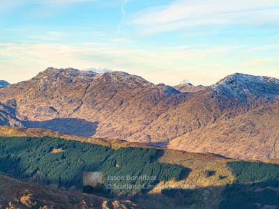
Ruadh-stac Beag is a quiet, scree and crag girt Corbett outlier of its big neighbour Beinn Eighe in Torridon. It lies north of Beinn Eighe’s second Munro, Spidean Coire nan Clach, connected by a nameless bealach at about 720 metres height to Spidean’s north ridge. Ruadh-stac Beag is like a bonus part of the wonderful, wild and beautiful play ground that is Beinn Eighe and can readily be combined with an outing on the main Beinn Eighe ridge, or with its neighbour to the north Meall a’ Ghiubhais (or Meall a’ Ghiuthais). Like the main mass of Beinn Eighe it is comprised of shattered Cambrian quartzite on top of Torridonian sandstone. The mountain is best approached from the Beinn Eighe Visitor Centre at Kinlochewe via the Pony Track. The villages of Torridon or Kinlochewe are perfect bases for exploring this area – you can search and book accommodation here.
The mountain is within the Beinn Eighe National Nature Reserve, the first in the UK and now over 70 years old. It was originally protected to conserve and restore the ancient pinewoods and these can be enjoyed near the visitor centre at the start of the trail.
Read on to see and find out more about this super Corbett or jump straight to one of the options below:


| Search for accommodation using Booking.com |
| Buy maps from the Ordnance Survey |
| Buy guide books and maps from Amazon |
Ruadh-stac Beag

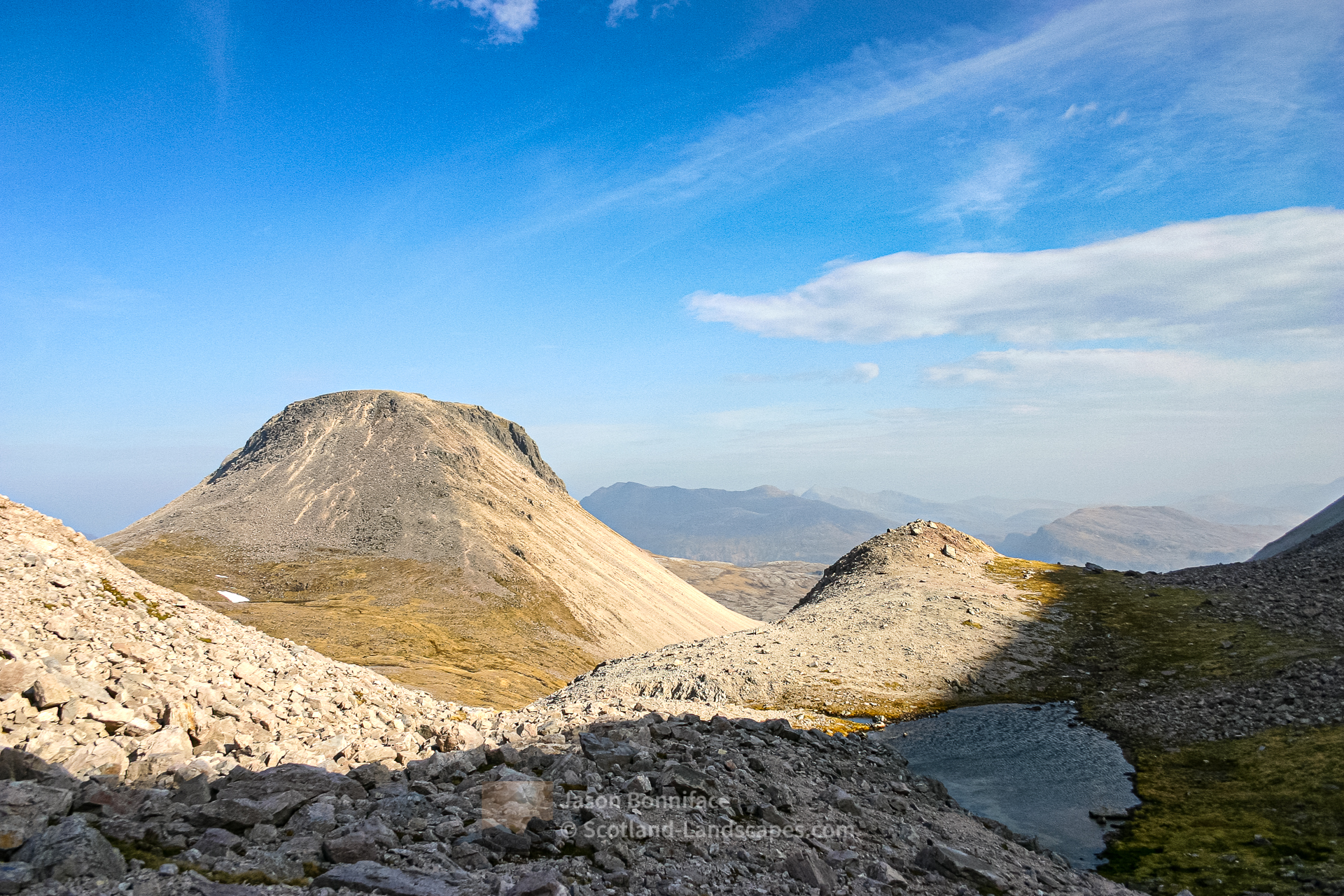
Table of Ruadh-stac Beag details
| DoBIHID | Mountain | Height | Classification | Image 1 | Image 2 | Image 3 |
|---|---|---|---|---|---|---|
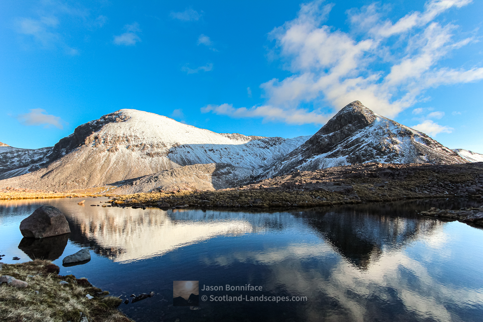
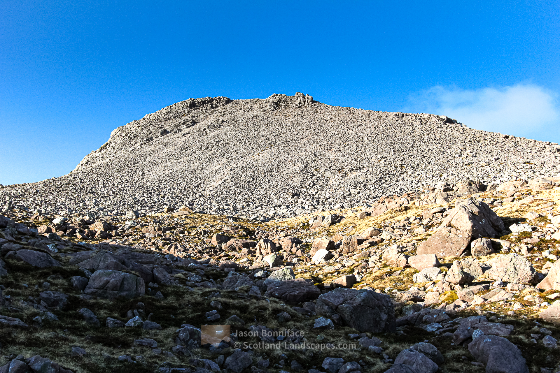
| 971 | Ruadh-stac Beag | 896m/2940ft | Corbett | Context Image | Detail Image | Summit Image |
Adapted from The Database of British and Irish Hills (DoBIH) under CC BY 4.0
Explore Ruadh-stac Beag and Beinn Eighe with the interactive map of the peaks, photos and indicative routes below. Click on a feature to see photos and more information; see a legend by toggling the side panel and switch layers on and off. View a larger map here. Please let me know what you think!
Interactive map of Ruadh-stac Beag including photos
Important note: Routes on this map are provided as an indication only in good faith. They are approximate and indicative and should not be relied on for navigation or as a guarantee that any specific person will be capable of completing them. Read more here.
Climbing Ruadh-stac Beag from Kinlochewe
The Beinn Eighe Visitor Centre is about one kilometre north west of the centre of Kinlochewe on the west side of the A832 Gairloch road (part of the North Coast 500 route). There is a good car park and a fine path winds through the woods to the south for several hundred metres before turning up hill towards the south west alongside the Allt Sguabaidh stream. This is the “Pony Track” which leads reliably about 4 kilometres up to the bealach between Beinn Eighe and Meall a’ Ghiubhais, the Drochaid Allt Toll a’ Ghiubhais. near the top of the bealach pick a southerly route over the rough terrain to aim for the bealach between Ruadh-stac Beag and Spidean Coire nan Clach for the easiest ascent route. There are several scenic lochans on the bealach. Above, to the north, quite steep, loose scree and boulders lead to the summit plateau.


Alternatively, for more direct and technically difficult routes, head south west from the Drochaid Allt Toll a’ Ghiubhais and cross the Allt Toll a’ Ghiubhais stream to aim for a flatish area at the east side of the end of Ruadh-stac Beag’s north ridge to reach the base of the Long Stroll Slab – a grade 3 quartzite slab scramble that can be used to gain the mountain’s north ridge. See a description in the SMC’s Highland Scrambles North guide. Overlooking Rib is an adjacent alternative Moderate climb or Grade 2 scramble depending on the route followed.


Descent from Ruadh-stac Beag
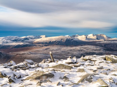
The easiest descent from Ruadh-stac Beag is down the steep southerly scree and boulders to the bealach and down the east side of the Allt Toll a’ Ghiubhais towards the Drochaid Allt Toll a’ Ghiubhais and the Pony Track. The ground below the north ridge of Sgurr nan Fhir Dhuibhe is exceptionally rough and perhaps lunar like.


View a gallery of all Ruadh-stac Beag images
Discover and explore more through the links and articles below.
| Search for accommodation using Booking.com |
| Buy maps from the Ordnance Survey |
| Buy guide books and maps from Amazon |

Beinn Eighe – Ruadh-stac Mor and Spidean Coire nan Clach

Liathach – Spidean a’ Choire Leith and Mullach an Rathain

An Teallach

Ben Hope – the most northerly Munro
Foinaven and Arkle
Leave a Reply