
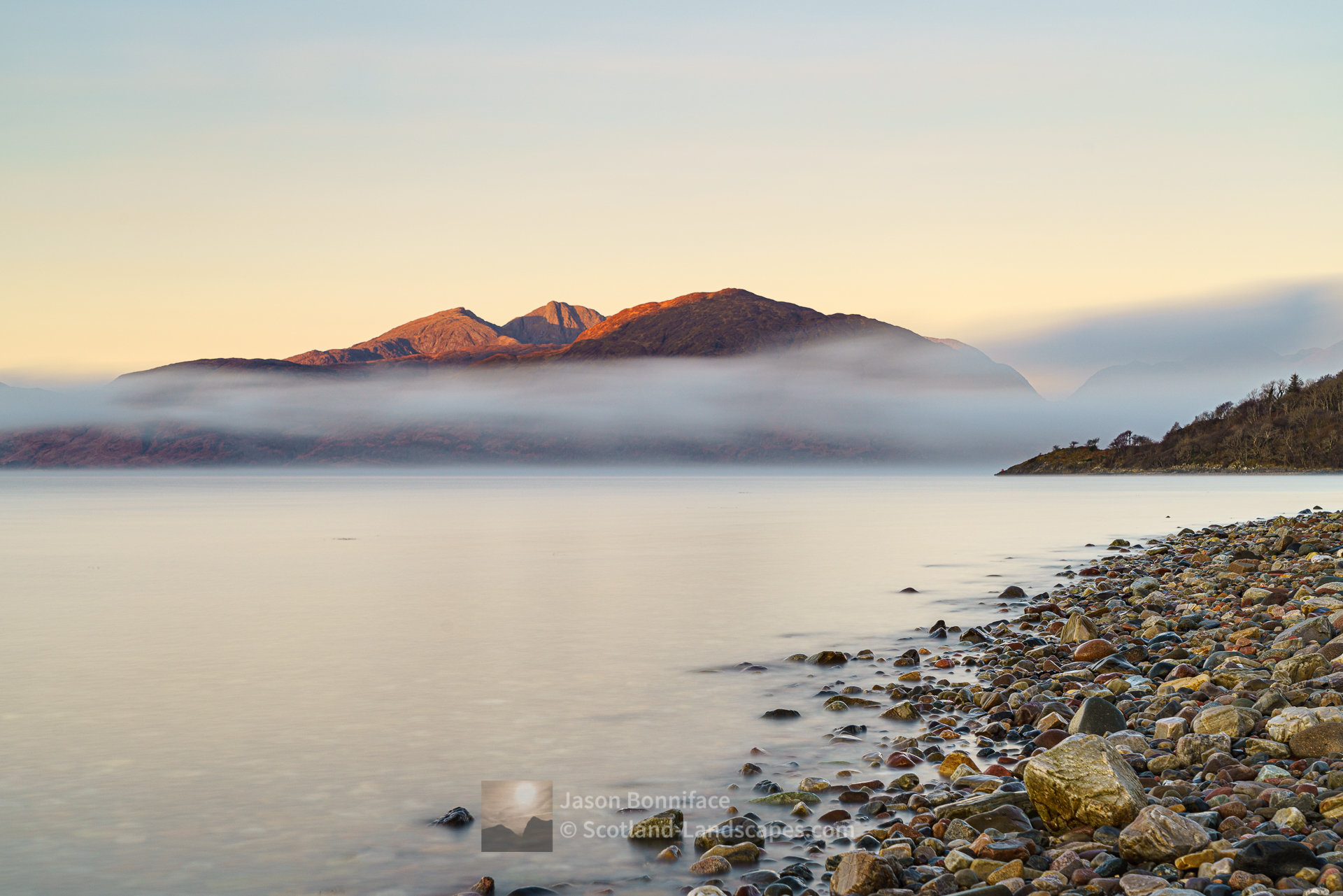
Ardgour is tantalising close to Glencoe and Fort William but lies on the west side of Loch Linnhe. It can be reached either by the Corran Ferry (service allowing!), or by a long but beautiful road journey around the north of Loch Linnhe and Loch Eil. The mountains are a rough and complex system of long ridges and deep glens bounded by Loch Linnhe in the east, Glen Tarbert and Loch Sunart in the south, Loch Shiel in the west and Loch Eil in the north. The main settlements are Ardgour and Strontian and these villages make ideal bases for exploring these mountains. You can search for accommodation here.
There is camping at Sunart Camping at Strontian and there is one Mountain Bothy Association maintained bothy in the area, Resourie in Glen Hurich.
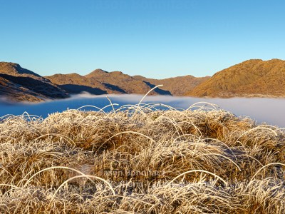
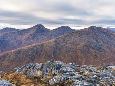
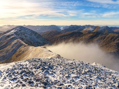
The Ardgour mountains contain 9 Corbetts and 8 Grahams. There are no Munros but what these hills lack in absolute height they make up for in rough, remote, wildness and solitude. They are well worth exploring, particularly if you like getting away from the crowds.
Sgurr Dhomhnuill is Ardgour’s highest point at 888m. Garbh Bheinn (885m) is perhaps its most celebrated peak – a massive rough lump of a hill above Glen Tarbert but known for the fine crags on its eastern side that provide some excellent climbing – and the fact that it is prominent and shapely in views across Loch Linnhe. Sgurr Ghiubhsachain (849m) rises in a fine position, with an enjoyable north east ridge, on the east side of Loch Shiel and is well seen from Glenfinnan.


The main glens penetrating the mountainous interior are Glen Gour, Glen Scaddle, Cona Glen – all running westwards from the shores of Loch Linnhe, and Glen Hurich that curves north eastwards from Polloch on Loch Shiel deep into the heart of the mountains between the Corbetts Stob a’ Bhealach an Sgriodain (Druim Tarsuinn) and Carn na Nathrach to meet the head of Glen Scaddle in the Gleann an Lochain Duibh area.
The southern end of the Cape Wrath Trail begins at the foot of Cona Glen at Inverscaddle on Loch Linnhe and follows the glen westwards before turning north over the hills to descend to Callop and Glenfinnan at the northern edge of these hills, passing north onwards through the Morar to Loch Arkaig hills.


Mountain pages coming soon….

Find out more about purchasing from Redbubble here.
Discover and explore Morar, Moidart, Ardgour, Ardnamurchan and Morvern through the articles and links below.
| Search for accommodation using Booking.com |
| Buy maps from the Ordnance Survey |
| Buy guide books and maps from Amazon |

Morar, Moidart, Ardgour, Ardnamurchan and Morvern

Fort William, Ben Nevis and Glen Coe

Morar, Moidart, Ardgour, Ardnamurchan and Morvern select photo gallery
Morar to Loch Arkaig mountains
Ardgour mountains
Gaor Bheinn (Gulvain) and Braigh nan Uamhachan

An ascent of Beinn Odhar Bheag and Beinn Mhic Cedidh graced by a white tailed eagle flyby

A visit to the Silver Sands of Morar at Camusdarach, Loch Morar and Stoul on Loch Nevis, and lovely winter light

Leave a Reply