
Beinn an Aodainn, anglicised as Ben Aden, is an exceptionally rugged, rough and charismatic peak in a wonderful and remote location with fantastic views. It lies on the eastern, inland side of Knoydart, about three kilometres north east of Carnoch near the head of Loch Nevis. At 887 m it is categorised as a Corbett and has Sgurr na Ciche as a lofty neighbouring Munro to the south.
Table of Beinn an Aodainn Details
| DoBIHID | Mountain | Height | Prime Class | Image 1 | Image 2 | Image 3 |
|---|---|---|---|---|---|---|
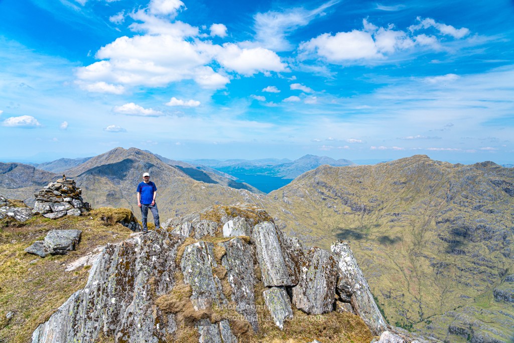
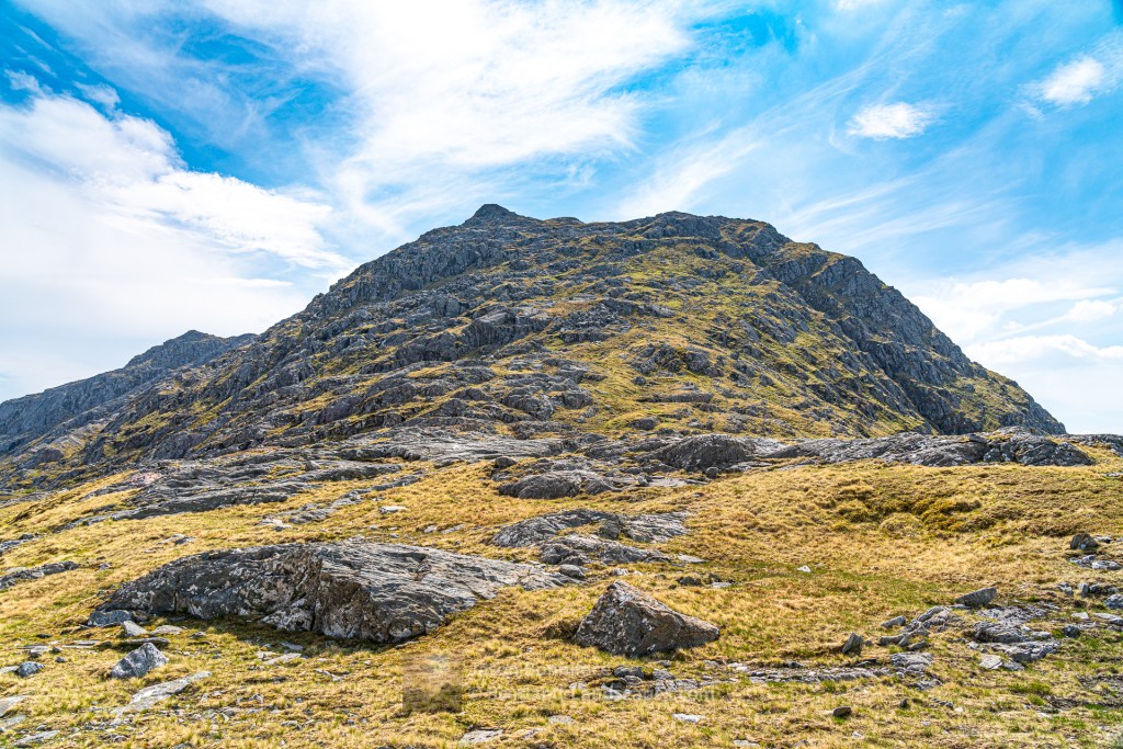
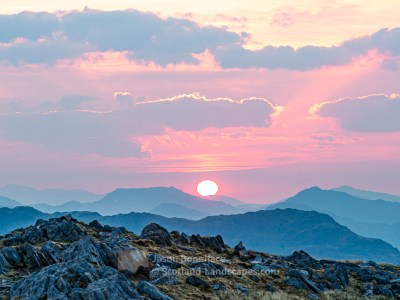
| 747 | Ben Aden | 887m/2910ft | Corbett | Context Image | Detail Image | Summit Image |
There are several options for approach to Beinn an Aodainn: from the west end of Loch Arkaig via Glen Dessarry, the head of Loch Nevis and the River Carnach; via the north shore of Loch Cuaich (Quoich); from Barrisdale via the Mam Unndalain pass.
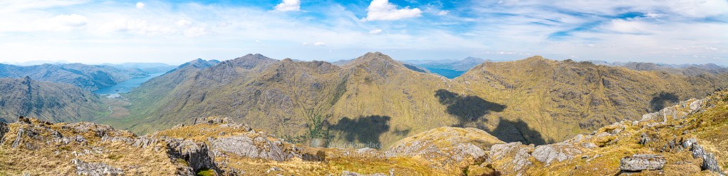
From the Loch Nevis approach the south west face is a common route of ascent. From the dams at the west end of Loch Cuaich there is a path into the east corrie of Meall a’ Choire Dhuibh, Coire Dubh (black corrie!) from where the east ridge can be gained to the summit of Meall a’ Choire Dhuibh. Rough, complex ground then leads to the east ridge/flank of Beinn an Aodainn; a route that will be difficult in poor visibility. Alternatively, the east north east ridge of Beinn an Aodainn looks like a very interesting route. This ridge can be gained from the path west from the Loch Cuaich dam to Lochan nam Breac. I climbed the peak in combination with Sgurr a’ Choire-bheithe via the north ridge starting from the sharp bend in the River Carnach below the Mam Unndalain pass. The north ridge was pathless but straight forward, some scrambling might be sought out.
It takes real effort to reach a place like this, if you do, I very much doubt you’ll be disappointed.
Interactive map of Beinn an Aodainn
Important note: Routes on this map are provided as an indication only in good faith. They are approximate and indicative and should not be relied on for navigation or as a guarantee that any specific person will be capable of completing them. Hill information adapted from The Database of British and Irish Hills (DoBIH) under CC BY 4.0
Beinn an Aodainn (Ben Aden) Photo Gallery – A selection of my best images illustrating the mountain


See & read more about the Lochalsh & Knoydart area
Lochalsh & Knoydart select photo gallery

Lochalsh & Knoydart Interactive Map

Knoydart & South Loch Cuaich (Quoich) mountains

Kintail & North Glen Shiel mountains

Leave a Reply